Predicting Urban Heat Hotspots at Neighbourhood Scale
Updated: Sep 30
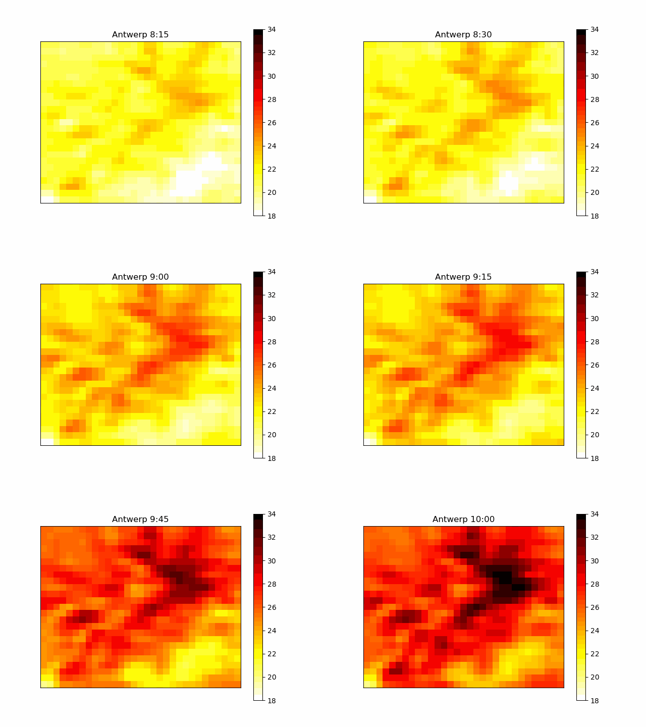
Our new study on Spatiotemporal Downscaling and Nowcasting of Urban Land Surface Temperatures With Deep Neural Networks is published now. Our urban downscaling model provides high-resolution (1 km, 15 minutes) land surface temperatures across European cities and forecasts their development over the next hours. This is particularly relevant during urban heatwaves as in summer 2026. This research was led by Solomiia Kurchaba from Energy Weather & AI Lab. Satellite-derived land surface temperatures provide either high spatial or high temporal resolution but hardly both. We combine geostationary and polar-orbiting satellites with AI to estimate urban land surface temperature fields at high spatiotemporal resolution and developed neighbourhood-scale intraday forecast models of European urban land surface temperatures. Our framework shows strong skill across large European cities and opens new opportunities for urban heat monitoring and forecasting. We also published our model code and training data for anyone to use. Read more here.


